If wind crossed your street this week, the label matters less than the ladder. Most of the wind that takes roofs off houses in this metro is not a tornado, behaves differently and leaves a different pattern behind, and all of it does the same thing to a seal strip. Get the survey record, then get somebody up there with a camera.
Where severe straight line wind comes from
Inside a thunderstorm, rain and hail drag air downward, and evaporation cools that air further, which makes it denser and accelerates it. The column hits the ground and has nowhere to go but sideways. That spreading rush of air is a downburst. A small one, under about two and a half miles across, is called a microburst, and a microburst can produce winds comparable to a low end tornado over a small area.
Because the air is spreading outward from a point, the damage radiates. Trees fall away from a centre. Fences go down in a fan. A house on one edge of it is hit from one direction and a house four streets away is hit from a different one, and both owners will tell you the wind came from a different quarter, and both will be right.
When a line of storms organises and produces damaging straight line wind along a continuous swath for hundreds of miles, it gets called a derecho. The mechanism is the same. The scale is not.
How a survey team tells the difference
National Weather Service survey crews do not decide by asking what people heard. They read the debris.
- Divergent debris means straight line wind. Trees, fences, sheds and roof material all lie broadly parallel, or fan outward from a line, pointing the way the air went.
- Convergent or crossed debris means rotation. Objects on one side of the track lie one way and objects on the other side lie the opposite way, and somewhere in the middle they cross.
That is also why the rating and the track come out days after the event rather than that night, and why a first news report and the final published survey do not always agree. If you want to know what actually happened over your house, the survey is the document, not the coverage.
May 16 2025
The National Weather Service rated the tornado that moved through St. Louis on the afternoon of May 16 2025 as an EF3, with peak winds of 152 miles an hour. It began near Clayton at 2:41 in the afternoon and tracked 22.6 miles. At its widest it was 1.8 miles across, which makes it the widest tornado path this region holds in a database that starts in 1950. Five people were killed.
NOAA's National Centers for Environmental Information put the damage from that event at about $1.6 billion. That figure is NCEI's estimate of total damage and it is not an insurance claims total, not a state figure, and not interchangeable with either.
Afterwards, FEMA declaration DR-4877-MO covered St. Louis City and St. Louis County. Under it, 9,427 households were approved for individual assistance, carrying $58.13 million in housing and other needs assistance, alongside $105.01 million in public assistance for the infrastructure side.
Separately, the Missouri Department of Commerce and Insurance recorded 253,241 catastrophe claims from the 2025 season across the state, with more than $2.9 billion paid, of which roughly 83 percent was residential.
Why the numbers do not add up to each other, and should not
Four different bodies measuring four different things: a weather service measuring wind and path, a climate data centre estimating total economic damage, a federal agency counting households it assisted, and a state regulator counting insurance claims filed statewide across a whole season. They are not versions of the same figure and treating them as if they were is how storm statistics get mangled on roofing websites. Each one on this page is attributed to the body that produced it, deliberately.
What any of this means for one roof
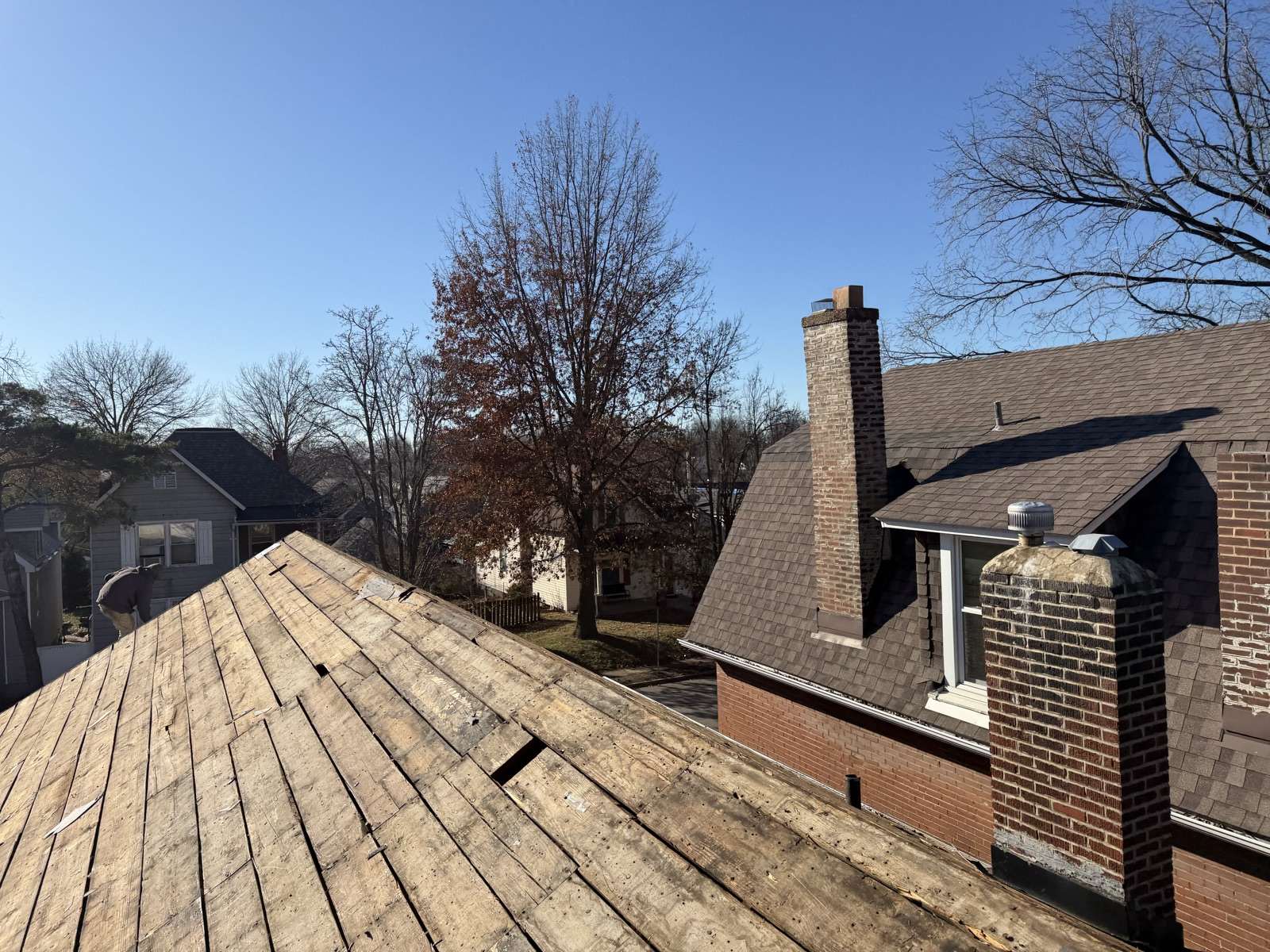
Practically speaking, less than people expect. The outer edge of a tornado track and a strong microburst do broadly similar things to an asphalt roof: they break the seal along the exposed edges, crease tabs, strip ridge cap and take material off the corners. A roof does not know what the meteorologist called it.
Where the distinction earns its keep is in dating and locating the event. If a survey establishes that a damaging wind swath crossed your part of the county on a given afternoon, that is a public, independent record that something happened at your address on a specific date, which is exactly what a set of photographs taken a week later cannot establish on its own. The survey does not prove your roof was damaged. It establishes the weather your roof stood in.
The seasonal shape of it
The severe season here front loads badly. April and May together carry about 56 percent of this metro's annual hail reports in the NOAA Storm Prediction Center climatology for the local forecast area, and the same setups that produce the hail produce the wind. Practically, that means two things. A roof going into April is going into the part of the year that will test it, and a roof that gets through May in this metro has cleared the highest bar the calendar sets. It also means that by July a roof may have stood through three or four separate events, which is precisely why an undated pile of photographs is worth so much less than a dated one.